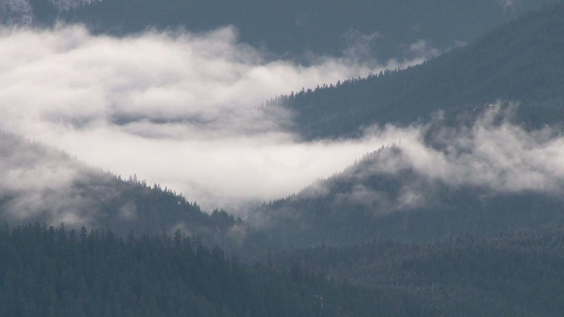
Monsoon in Full Force over New Mexico
- Daniel E. Pagliaro, CCM, CMPIC

- Jul 23, 2020
- 2 min read
The hot and dry spell that scorched much of New Mexico from mid-June through mid-July has come to an end as the summer monsoon has ramped up over the Land of Enchantment during the past week. As we head into the weekend, the juice is loose and the atmosphere is primed to bring beneficial rain to many areas of the state, with central and western areas being most favored. A classic monsoon pattern is in place with high pressure situated over the Mississippi Valley and low pressure located along the California coast. The resulting southerly flow has brought the gravy train of tropical moisture northward from Mexico straight into New Mexico.

Nearly everyone will see at least some rainfall, although showers and storms will be more isolated over the eastern plains, being closer to the high center and further from the monsoon tap. Higher elevations will be favored for more widespread heavy rainfall through the weekend, while the adjacent valleys will see scattered thunderstorm activity. In the Albuquerque metro area, it will be the typical hit-or-miss type thunderstorm activity. We'll also have to keep an eye on Tropical Storm Hanna that is currently in the Gulf of Mexico to see if its remnants will impact New Mexico at some point next week. Aside from the potential impacts of Hanna, the forecast models suggest that high pressure will try to re-establish itself over the Four Corners region. That would cut off the deep monsoon tap from the south, but daily rounds of thunderstorms would continue with moisture recycling, and the potential for a "reverse monsoon" pattern with storms moving forming in the Sangre de Cristo and Jemez Mountains and moving south or southeastward into the adjacent valleys.

With the monsoon season in full swing, it's important to remember that flash flooding can and does occur, even in places that are well downstream from any thunderstorms that are occurring. While the recent dry conditions will mitigate the potential for widespread flooding, the greatest potential for localized flash flooding will exist over recent burn scars and along ditches and arroyos that are downstream of any thunderstorm activity. Keep yourself and your loved ones safe from monsoon weather by:
Avoiding arroyos and ditches. While they may be dry most of the time, rain falling many miles away can and does send raging torrents of water that can wash away anything it is path.
Don't attempt to cross flooded roadways. Remember, "Turn around. Don't drown."
Keep an eye to the sky. Get to shelter when you hear thunder.
Although the monsoon tap will be flowing at full speed this weekend, who gets drenched versus who stays high and dry will largely depend on what ZIP Code you're in. Will your ZIP Code be drawn in the rain lottery this weekend? Only time will tell.


Comments