
Another brutal week on tap as heat dome's iron grip on New Mexico continues
- Daniel E. Pagliaro, CCM, CMPIC

- Jul 23, 2023
- 3 min read

Sixty three days and counting. That is the current streak without measurable precipitation at the Albuquerque International Sunport. Typically this time of year, the monsoon is in full swing and afternoon thunderstorms bring beneficial rain and temper our summer heat.
Not so this summer so far. Our last measurable precipitation at the Sunport was on May 21st. The remainder of May and most of June saw dry and windy weather as the storm track associated with the westerlies shifted north. By the latter part of June the heat dome we've been dealing with took shape. From the last week of June onward, most of the Land of Enchantment has been plagued with triple digit heat in what is turning out to be one of the hottest and driest summers in recent memory. Folks escaping to the mountains found little relief, as temperatures have soared well into the 90s in places like Santa Fe and Taos. Even typically cool, high-elevation locations such as Chama and Angel Fire have been experiencing daytime highs well into the 80s over the past few weeks.
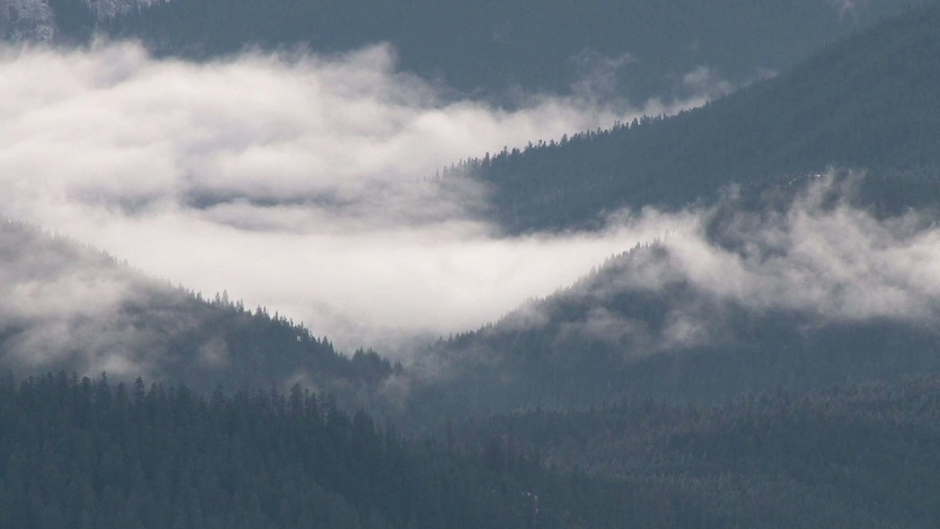
One notable exception has been the northeastern corner of the state. There, the jet stream has been close enough to send disturbances and backdoor cold fronts that triggered rounds of strong to severe thunderstorms. There's been so much rain over northeastern New Mexico that localized flash flooding, particularly over recent burn scars from the Calf Canyon/Hermit's Peak fire, has been of concern.
This past couple of days many areas have gotten a bit of a reprieve from the excessive heat as the high pressure center (aka. the heat dome) that has been sitting directly on top of New Mexico lately, shifted toward the Great Basin and weakened somewhat. That introduced some slightly cooler temperatures with better chances of storms this past Thursday through Saturday. However, those storms stayed away from the Albuquerque metro area, favoring the higher elevations of the western and northern mountains and the eastern plains.
While 63 days without measurable precipitation at the Albuquerque Sunport sounds like a long time, it's still a long way away from the record 109-day precipitation-free streak that occurred in 1902. More recently, a 96-day dry spell occurred from October 2017 through January 2018.
Heat dome re-intensifies over New Mexico this week
Our reprieve is over and as of this writing, the heat dome is shifting back eastward toward New Mexico. Models indicate the heat dome will re-establish itself over New Mexico, with its center almost directly over the Albuquerque metro area Tuesday and Wednesday. That means a return to excessive heat and only isolated storms favoring the mountains. With a lack of moisture, even the storms that do form will likely be dry, with a greater threat from lightning and strong, erratic winds, than rain.
The main concern will be the threat of heat-related illness, so it's important to limit your time outdoors and make sure to stay hydrated by drinking plenty of water. Additionally, the fire danger will be increasing with high temperatures and low relative humidity values. Avoid open burning and fully extinguish any campfires or pit fires. Be sure to properly extinguish and discard use cigarettes and cigars.
Also not to be forgotten is the strain on our power grid as folks crank up their air conditioners to stay cool. So far, no issues have been reported by PNM in supplying sufficient power to meet the increased electrical demand due to the extreme heat. At this point, New Mexico has avoided weeks of rolling blackouts like those experienced in California in previous years as extreme summer heat waves caused energy demand to greatly outstrip available electricity production.
Looking out over the next couple of weeks, there is no real end in sight to the scorching temperatures and no indication that widespread monsoonal moisture will make its way to the Land of Enchantment. While the forecast models and the ensemble forecasts suggest the arrival of beneficial rain in the long-term, over the past couple of weeks the forecast models have been overly bullish on breaking down the heat dome and bring rain into our area. So right now, we'll need to take what the models are indicating with a grain of salt.
Needless to say, if the heat dome persists into August, the current rain-free streak could among the longest dry spells for Albuquerque, at a time when we normally get the brunt of our annual rainfall.
And so this long, hot, brutal summer continues.


Comments