
Drought and Fires Still a Threat Despite Monsoon Rain
- danielpagliaro

- Jun 17, 2020
- 2 min read
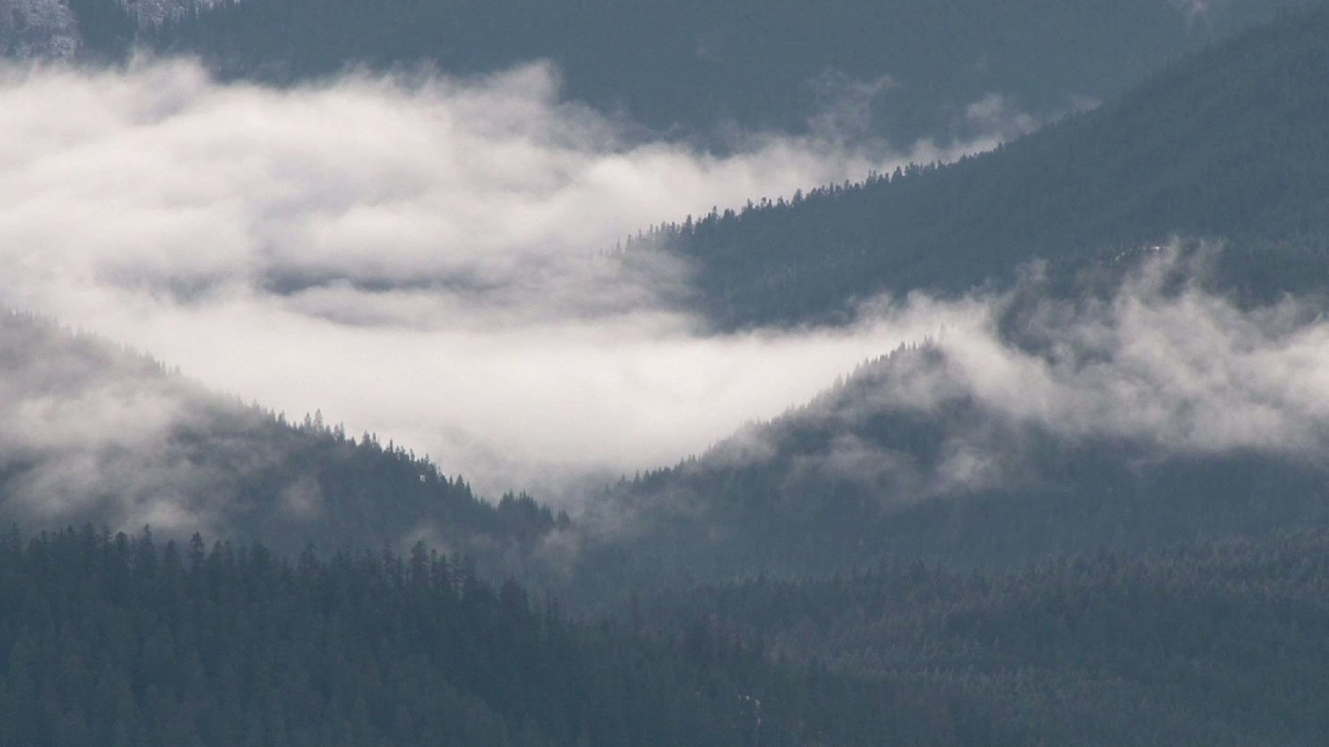
June has brought an early prelude to what hopes to be an active monsoon season for New Mexico. For the first half of the month, the Albuquerque Sunport has racked up 0.90" of rainfall, which is well above the 0.25" the Sunport receives in an average June, to-date. Moreover, the recent rainfall has put a huge dent in Albuquerque's rainfall deficit for 2020, which stood at around an inch at the beginning of the month. We have now closed to within one-tenth of an inch of normal for the year. This is all thanks to a fairly rich monsoon plume that had set up over central New Mexico around the beginning of June and persisted through mid-month. While central portions of New Mexico received beneficial rainfall, far western New Mexico and the southeast plains largely missed out.

Even with this month's rainfall, a major drought continues to grip much of the state. The Climate Prediction Center's Drought Monitor update for June 16th shows about three quarters of the state in some level of drought, with only a swath stretching from south-central to southwest New Mexico considered drought-free. Of the areas in drought, more than half of the state is experiencing at least moderate drought, and one-third experiencing severe to extreme drought. Particularly hard hit is the far northern portion of New Mexico and the eastern Plains, where parched conditions have continued after a paltry year for snowfall over the Southern Rockies of southern Colorado and northern New Mexico.

Not surprisingly, federal and state authorities have imposed fire restrictions in most of the state's parks and forests, and are considering closures of some areas if conditions persist and the fire danger gets too high. This year we've already had one significant fire in the Gila Wilderness of west-central New Mexico, and more major fires are burning out of control over portions of Arizona. As of this morning, the Bush Fire in the Tonto National Forest northeast of Phoenix has grown to become the largest active fire in the United States, and remains zero percent contained.
Over the next several days, as high pressure builds into the Desert Southwest, precipitation chances fall off sharply for most of the Land of Enchantment. However, there will be better chances of afternoon thunderstorms for the northeast corner of the state and along the Texas border thanks to a series of backdoor cold fronts that will continue to recharge moisture over this region. Meanwhile, the heat intensifies for the remainder of this week and heading into the early part of next week, with temperatures once again approaching the 100-degree mark in the Albuquerque metro area. The hot and dry air mass, coupled with breezy to windy conditions will set the stage for big fire weather concerns statewide heading into the weekend and next week.
Long-range models hint at the monsoon tap returning to most of New Mexico toward the end of June. While there's still plenty of time for things to evolve, signs are encouraging that we might have a good monsoon season. Keep your fingers crossed.


Comments