
Blistering heat scorches the Land of Enchantment
- Daniel E. Pagliaro, CCM, CMPIC

- Jul 10, 2020
- 2 min read

This time of year, New Mexicans welcome the arrival of the North American Monsoon that brings moisture and cooler temperatures to the state. As for this year, the first half of June started off with promising indicators for a potentially wet monsoon season, but as June turned into July, the prospects for drought-busting rain this monsoon season have dried up. Most of New Mexico is now in the grips of an intense heat wave that is causing concerns for heat-related illness and increased fire danger.
While we are officially in the monsoon season, large blocking high pressure has been situated squarely over New Mexico for the past several days and has reached near-record strength. That high center has acted like a giant pressure cooker, delivering record heat to much of the Land of Enchantment this past week, and there's plenty more where that came from. Through the weekend, triple digit temperatures will be widespread in the lower elevations. In addition to places where triple digit heat is typical, such as Roswell, Alamogordo, and Las Cruces, places where 100-degree weather is less common, such as Albuquerque and Farmington, will crack the century mark this weekend. There will be little relief in the higher mountain regions, as temperatures will reach well into the 90s for Santa Fe, Taos, Raton, Gallup, and Las Vegas. It'll be hard to find a place in New Mexico this weekend with high temperatures below 90, but places like Angel Fire, Red River and Chama will be only marginally cooler with highs in the 80s.
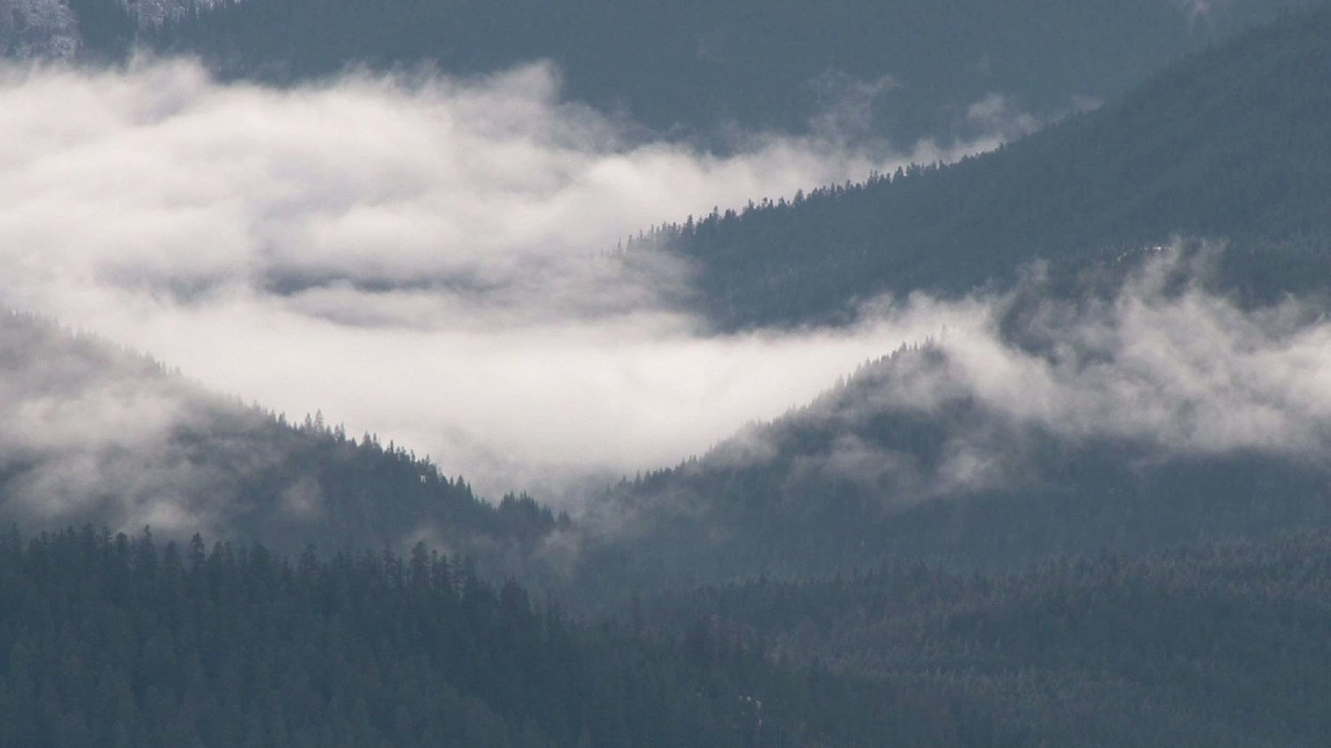
In addition to the intense heat, it will be very dry, with relative humidity values in the single digits to teens statewide through the weekend. Conditions are ripe for explosive wildfire development this weekend, with occasionally breezy conditions, intense heat, low humidity, and plenty of dry fuels. There are several major wildfires that continue to burn across New Mexico, mostly in the Gila Wilderness. However, there is also the Ojo de Los Casos fire burnign in the Manzano Mountains southeast of Albuquerque. That fire has consumed approximately 200 acres, but has been slowed as it progressed into the burn scar from the 2016 Dog Head fire due to reduced fuel. Nonetheless, crews continue to battle the blaze, working against intense heat and low humidity.
But will there be any relief in sight? Computer models are hinting that the upper level high currently over New Mexico will shift eastward into Texas by mid-week, which will allow for a return of moisture and cooler temperatures across the state. Despite this, there will be the increased threat of dry thunderstorms for Monday and Tuesday that increases the potential for lightning-induced wildfires before additional moisture arrives by mid to late week to deliver more rain-producing storms.
Until then, stay cool and stay hydrated.


Comments