
Heat returns to New Mexico as the monsoon takes a hiatus
- Daniel E. Pagliaro, CCM, CMPIC

- Jul 29, 2020
- 2 min read
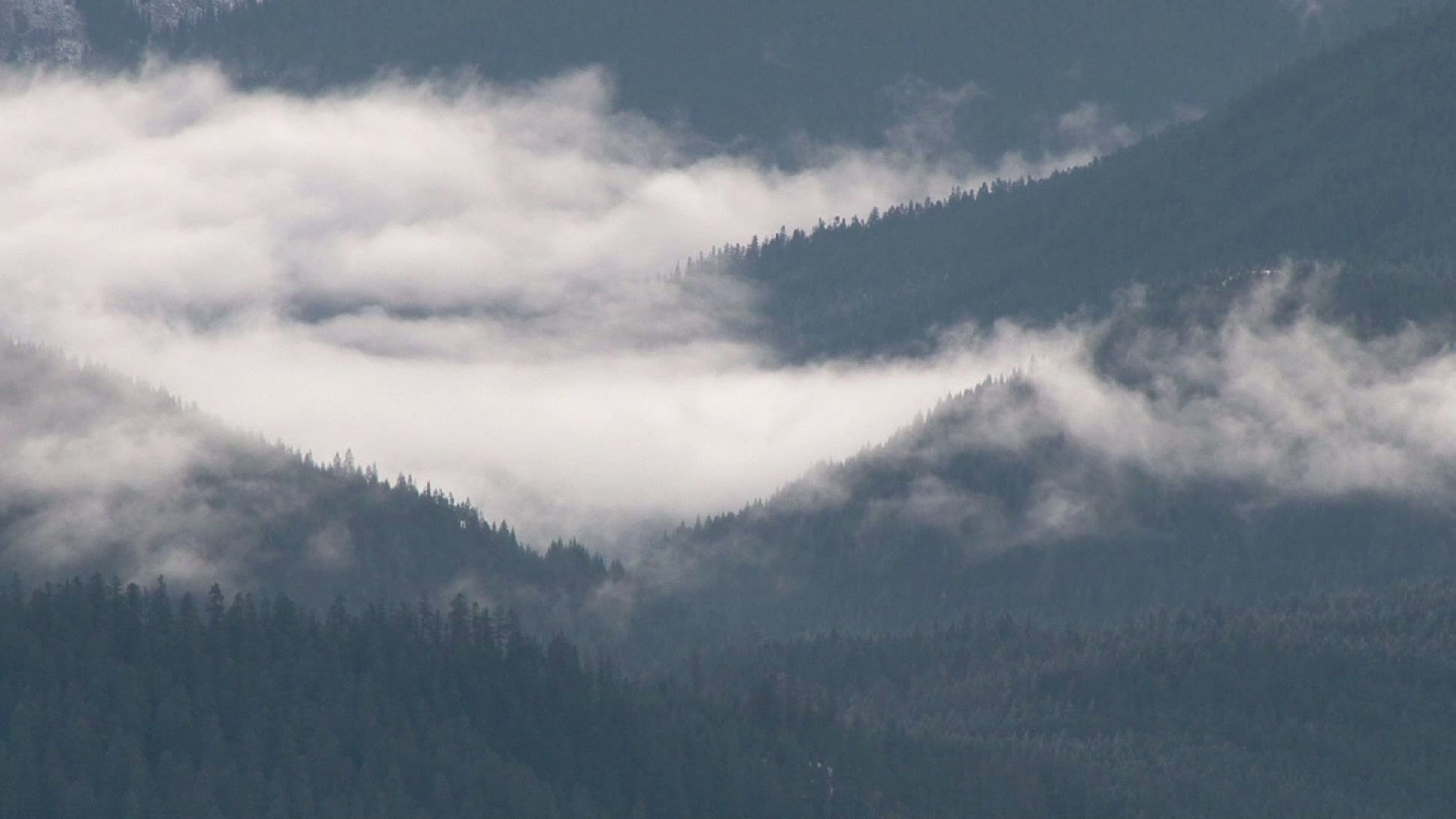
The monsoon flow has brought beneficial rain to much of New Mexico over the past week. Some places around the state got too much of a good thing, with localized flash flooding inundating parts of Truth or Consequences, Socorro, and the southwest portion of Albuquerque.

Over the past week most of New Mexico received an inch of rainfall or better, although the southeastern plains including Roswell and Carlsbad largely missed out this go-around. A swath of heavy rainfall stretching from the Gila Wilderness in the southwest to the northeast plains resulted in widespread rainfall estimates exceeding 2 inches from Truth or Consequences to Los Lunas, and eastward to Clayton. Embedded within this swath of heavy rainfall are pockets of estimated rainfall of up to 6 inches around some of the higher peaks. Rainfall amounts in the Albuquerque metro area ranged from less than a half-inch near downtown and in parts of Rio Rancho to nearly 2 inches in the South Valley and parts of Kirtland Air Force Base and the West Mesa. Most of the city received at least an inch of rainfall.

The rainfall that we enjoyed across New Mexico has come to an end as we experience a break in the monsoon pattern. A dome of high pressure that had been situated to our east over the past week has migrated westward and has set up shop over northern Arizona. That has ushered in dry north to northwesterly flow at the mid and upper levels that has the effect of acting as a lid to suppress thunderstorm formation. The subsidence will result in clear skies and a return to hot weather over much of the state, with widespread 90-degree temperatures and highs exceeding 100 degrees over the southeastern plains and southern deserts. There's still plenty of low-level moisture over eastern and central New Mexico, so a isolated storm or two over the mountains can't be completely ruled out today and Thursday, but for most places hot and dry conditions will dominate for the remainder of the week and into the weekend. The exception to this will be over the northeastern plains where a series of backdoor cold fronts will drop southward from Colorado. There is the potential that one these fronts could penetrate the gaps in the central mountain chain and deliver amplified moisture to the Rio Grande Valley heading into Thursday night and into Friday. We'll need to keep an eye out for isolated to scattered thunderstorm activity over the northeast plains, with the possibility of storms in the Rio Grande Valley on Friday, depending on how far west Thursday night's cold front makes it. That being said, we will be under the influence of the "reverse monsoon" pattern where storms typically develop over the mountains of northern New Mexico and propagate southward into the adjacent valleys.
While the monsoon may be taking a hiatus, don't get too worried. We're not even halfway through the monsoon season, so there's plenty of time for the monsoon's rains to return and get us back to where we should be in the rainfall department.


Comments